NOTTINGHAM, MD—In 1967, Baltimore County passed one of the most far-reaching land preservation acts in Maryland history, creating the Urban-Rural Demarcation Line. The URDL, as it is commonly known, separates the county into “urban” and “rural” areas. Sewer systems, public water, and infrastructure is generally focused within the urbanized part of the URDL, while farmland dominates the region outside this boundary.
The URDL was one of the first growth boundaries in the United States. Today, two-thirds of Baltimore County remains green and rural, while 90 percent of the county’s population lives on the one-third zoned for development. The impact is particularly noticeable along Interstate-83 on the way north to Pennsylvania.
Right now, adjustments to the URDL can be made through a simple vote of the County Council after review by the Planning Board. Councilman David Marks will be introducing legislation in January that would send to the voters a charter change strengthening this system. Under this proposal, a supermajority of the County Council—six of nine members, once the Council expands—would be required to adopt a revision to the Urban-Rural Demarcation Line. This increases the threshold by which land can be opened up to development.
“The URDL is one of the most successful land preservation tools in the United States,” said Councilman Marks. “It’s what has kept the farms in northern Baltimore County from being swallowed up for development. I want to protect this beautiful, productive land and do everything I can to support our farmers and farming families.”
The bill will be introduced on January 6th.
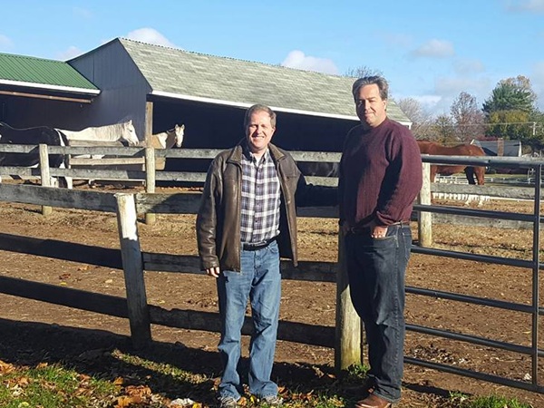
Photo: Councilman David Marks and Rob Weyforth at Hawks Hollow Farm in Kingsville.
Do you value local journalism? Support NottinghamMD.com today.

