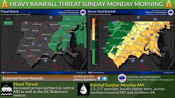
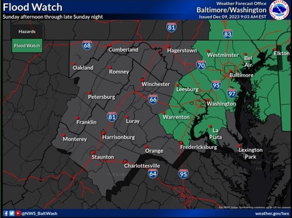
BALTIMORE, MD—The National Weather Service has issued a Flood Watch for the Baltimore area.
The watch will be in effect from Sunday afternoon through late Sunday night.
Forecasters say flooding caused by excessive rainfall is possible throughout the area.
Excessive runoff may result in flooding of rivers, creeks, streams, and other low-lying and flood-prone locations. Flooding may occur in poor drainage and urban areas. Storm drains and ditches may become clogged with debris.
Two to three inches of rain are mostly likely Sunday afternoon through late Sunday night with the heaviest rain falling during the afternoon and evening. This amount of rain could cause flooding of small streams, creeks and urban areas.
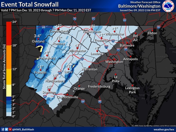
There is also a small chance that the rain could change to snow before ending early on Monday.
Residents should monitor later forecasts and be alert for possible Flood Warnings. Those living in areas prone to flooding should be prepared to take action should flooding develop.
Additional information can be found in the National Weather Service graphic below.


Do you value local journalism? Support NottinghamMD.com today.

